Before the postcards
A little Death Valley history.
The stories here start long before anyone came looking for gold.
Timbisha Shoshone homeland
Death Valley is the homeland of the Timbisha Shoshone. Their connection to this landscape predates the wagon parties, mines and visitor roads. That is a living history: Timbisha people remain part of the region today, and generations worked to secure recognition of their homeland.
Read about Timbisha Shoshone history1849: a shortcut with a long story
During the California gold rush, a group of travelers followed a supposed shortcut and became stranded in the valley. William Lewis Manly and John Rogers went for supplies and returned to help members of the party escape. The familiar naming story says a departing traveler called out “Goodbye, Death Valley.” The name stuck; the stories of the people who already knew this country reach much further back.
The story of the lost ’49ers1880s: borax and twenty-mule teams
Borates were discovered in Death Valley in 1881. By 1883, twenty-mule teams were hauling ore on a demanding 165-mile journey through the Mojave. Their wagons became one of the enduring images of the American West, born from the practical problem of moving heavy material across remote desert.
The borax company’s historical account1905: a gold town grows near Beatty
Rhyolite followed gold discoveries in the surrounding hills and grew into a town in 1905. Its boom did not last. The substantial ruins left behind make a striking contrast with the empty spaces around them: a reminder that fortunes could arrive quickly here, and leave even quicker.
Explore Rhyolite’s historyGive your camera something to do
Death Valley sights
worth slowing down for.
Choose a few places you really want to see. The distance between the dots is part of the day.
Zabriskie Point
Folded badlands & changing light
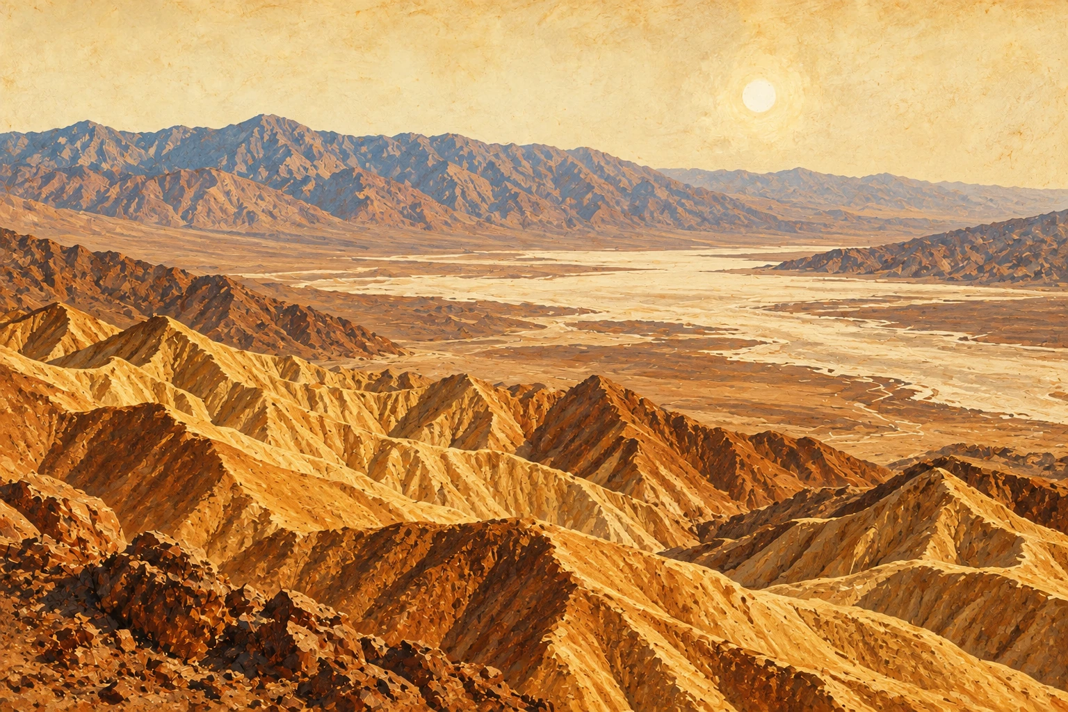
Golden ridges fold into one another below this elevated viewpoint, with the salt basin and Panamint Mountains beyond. Water carved these seemingly bone-dry hills. Sunrise and sunset bring out their contours; even a short stop gives you an extraordinary sense of the landscape.
Good to know: The viewpoint is reached by a short, uphill paved walk from the parking area.
Visitor details for Zabriskie PointBadwater Basin
282 feet / 86 metres below sea level
North America’s lowest point is a vast salt basin beneath steep mountains. As groundwater rises and evaporates, salt can form intricate polygon patterns. Look up toward the sea-level marker on the mountainside for a reminder of just how low you are.
Good to know: The boardwalk is short. The salt flats beyond it go on as far as you want to walk.
Visitor details for Badwater BasinMesquite Flat Sand Dunes
Wind-sculpted sand & mountain backdrops
Sand, wind and surrounding mountains work together to create this dune field. Ripples and sharp crests make it a rewarding place to look for patterns and shadows, especially when the sun is low. You do not have to reach the tallest dune to appreciate the scene.
Good to know: Walking in sand takes more effort than a paved viewpoint.
Visitor details for Mesquite Flat Sand DunesArtists Palette
The desert has more than one paint pot
Pink, green and other unexpected colors appear in these mineral-rich volcanic deposits. The hills sit along Artists Drive, a one-way scenic loop with bends, dips and several places to stop. This is a landscape to take slowly.
Good to know: Artists Drive has a 25-foot / 7.6-metre vehicle-length limit.
Visitor details for Artists PaletteDantes View
The whole valley, with perspective
High on the Black Mountains, this viewpoint looks down across the white basin toward the Panamint Range. It is a completely different perspective from standing on the valley floor, and a worthwhile choice for travelers who prefer a wide panorama to a longer walk.
Good to know: This is a separate mountain-road detour, so allow time for the drive back down.
Visitor details for Dantes ViewRhyolite & Goldwell
A Nevada side trip near Beatty
Just outside Beatty, Rhyolite’s bank ruins, bottle house and former railroad depot tell the story of a short-lived gold boom. Nearby, Goldwell Open Air Museum puts unexpected sculpture against open desert. These are neighboring Nevada sights, worth building into a Beatty day.
Good to know: Leave historic structures and artifacts as you find them. Outdoor ruins are for looking at, not climbing on.
Visitor details for Rhyolite & Goldwell
Our side of the desert
Pahrump & Beatty, Nevada.
Two useful gateway towns. Different sides of the trip.
Pahrump: the town near our home base
Death Valley Roundup is based just outside Pahrump, Nevada. For a trip from Las Vegas, the Pahrump side puts food, fuel and supplies into your plan before you head farther into the desert. It is also the area to look toward for a stay at RuthVille.
Build your day around where you want to go rather than choosing a base by the closest dot on a map. Death Valley’s sights are spread out, and the best starting point depends on your route.
Pahrump visitor informationBeatty: ghost towns and a road-trip stop
Beatty sits on US 95 on the Nevada side of Death Valley. It is a useful stop for a meal and supplies, and a natural pairing with Rhyolite and Goldwell. Give the town some time of its own instead of treating it as just a turn on the way somewhere else.
Beatty visitor informationA little planning goes a long way
How to plan
your visit.
“The desert doesn’t care how good your phone battery is.”
Make a short list, not a race
For a first visit, consider a viewpoint, a valley-floor stop and time for a meal. Zabriskie Point, Badwater Basin and Artists Palette are one possible group to research. A dunes outing or a Beatty and Rhyolite day has a different rhythm.
Let the weather set the pace
Cooler weather gives you more flexibility for walking and sightseeing. Summer heat can be extreme. Avoid low-elevation hiking in summer and plan brief sightseeing stops close to your vehicle. Carry water, food and sun protection.
Fill up in Pahrump or Beatty first
Leave Pahrump or Beatty with a full tank before heading into Death Valley. Fuel at remote stops can be much more expensive. Budget for the possibility of $10 a gallon in Death Valley; this is a planning allowance, not a current pump-price quote.
Shoshone has gas just up the road from Tecopa, though it can cost more than filling up on the Nevada side.
Tecopa and Shoshone trip-planning tips →
Maps and road conditions
Save maps for offline use. Storms can close roads, paved ones included.
Current Death Valley road conditionsKeep the desert looking like the desert
Use designated roads and parking areas. Leave rocks, salt formations and historic objects where they are. Give wildlife space, and take your rubbish back with you.
Seasonal visitor planningA slower side trip
Make time
for Tecopa.
Tecopa hot springs, China Ranch date shakes, Death Valley Brewing and the Amargosa landscape make another kind of day in the region.
Explore Tecopa, California ↗If your kind of sightseeing has handlebars
Already ride?
There’s another way out.
Our all-day supported dual sport adventure is for intermediate to advanced desert riders. Rent a KTM or Husqvarna, or bring your own small dual sport. You can explore the ride separately from this sightseeing guide.
Meet Death Valley Roundup ↗