The long way over
Wheeler Pass Road
from Pahrump.
“Gravel at the bottom.
Fifty inches at the top.”
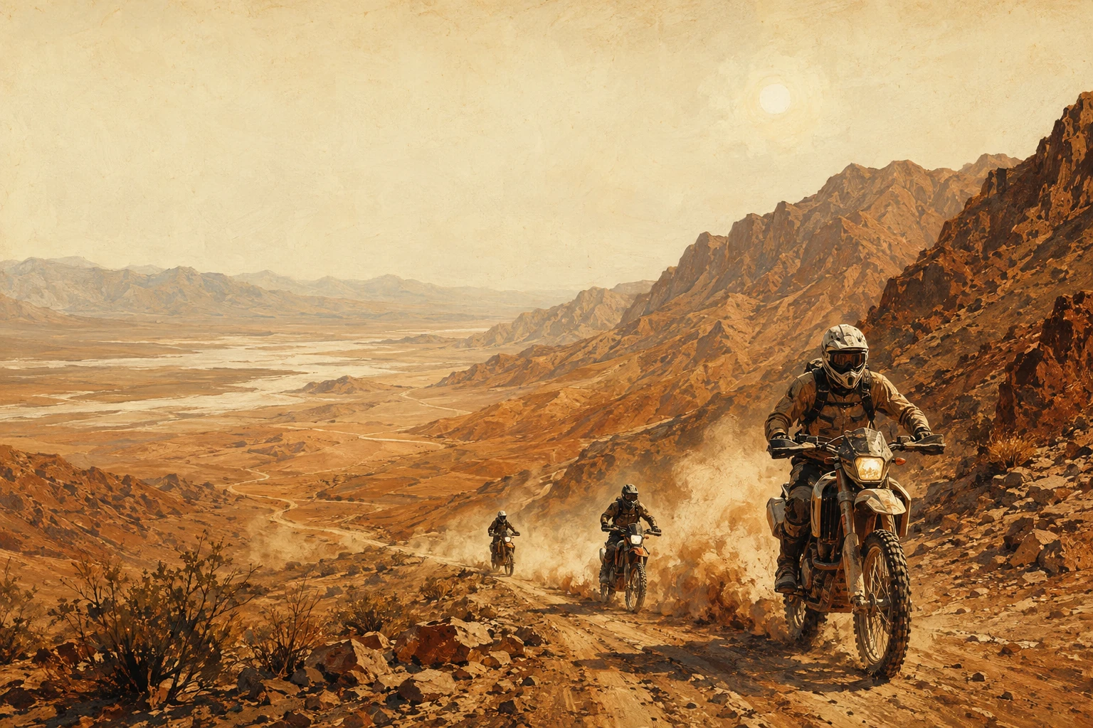
Wheeler Pass Road is Forest Road 45601. It runs 13.2 miles from north of Pahrump to Cold Creek Springs, along the west side of the Mount Charleston Wilderness. The Forest Service says OHVs, Jeeps and four-wheel-drive trucks use it heavily.
It starts as a wide, maintained gravel road and narrows to a 50-inch winding trail as it nears the summit. Spur trails along the way make loops, so you don’t have to ride the same trail twice. Nevada Trail Finder says most high-clearance two-wheel-drive vehicles reach the pass and the historic charcoal kilns, but four-wheel drive is recommended.
The town of Pahrump says Wheeler Wells and the kilns are within reach of most two-wheel-drive vehicles, even pulling small travel trailers. The Indian Springs side, off US 95, is a favorite of experienced 4x4 drivers.
Wheeler Pass OHV trail
The town’s 2026 off-road trail map marks Wheeler Pass for Jeeps, side-by-sides, ATVs and dirt bikes. For the other Pahrump routes, see Pahrump off road trails.
Forest Service: Wheeler Pass road description, Nevada OHV grant (PDF) Nevada Trail Finder: Pahrump OHV Routes Visit Pahrump: OHV resourcesFind the gravel
Wheeler Pass directions
and the map.
Trail Finder’s Wheeler Pass Road staging point is about 10 miles out Wheeler Pass Road from Pahrump, with pullouts on both sides. A routing service puts it about 11 miles from the middle of town. Wallace Canyon Road turns off at about 8 miles. Clark Canyon is about 15 miles out, by Wheeler Pass Road and Clark Canyon Road.
The far end is Cold Creek. The paved way around, by Highway 160, US 95 and Cold Creek Road, is about 78 miles from Pahrump, roughly an hour and 40 minutes.
Drive times are from a routing service, rounded.
Wheeler Pass, Nevada, map
The town’s trail map, made with the Nevada Division of Outdoor Recreation, shows Wheeler Pass Road with the Tecopa Charcoal Kilns, a Wheeler Wells group camp and the pass itself, and Willow Creek Campground near the Cold Creek end. Trail Finder has map and GPS files to download.
On Forest Service land, the Motor Vehicle Use Map is the legal map. A route that is not on it is closed to motor vehicles, and open routes are not always signed.
Nevada Trail Finder: Spring Mountains OHV trails and staging Visit Pahrump: 2026 off-road vehicle trail map (PDF) Forest Service: Motor Vehicle Use Maps
What the road does
Wheeler Pass
road conditions.
“The road follows the water.
So does the damage.”
The road runs up drainages, and water runs down it. The Forest Service says it rills, sections wash out, and the steep south end gets worse as water cuts channels into the travel way. A 2019 Nevada OHV grant to the Forest Service listed 10 miles of Wheeler Pass for maintenance such as drivable dips, outsloping and reshaped ditches.
Cell service is unreliable in these mountains.
Wheeler Pass road conditions today
As of October 1, 2026, the Forest Service’s alerts for the Spring Mountains list no Wheeler Pass closure. Stage 1 fire restrictions on the mountain ended September 30, 2026.
Forest Service: Wheeler Pass erosion and maintenance (PDF) Forest Service: Humboldt-Toiyabe alerts and closures Wheeler Pass Road forecast from the National Weather ServiceSleeping on the mountain
Wheeler Pass
campground?
The Forest Service’s current list of Spring Mountains sites has no campground on Wheeler Pass Road. The town map marks a Wheeler Wells group camp and Willow Creek Campground near Cold Creek; neither is on that list.
Camping along the road is dispersed. Trail Finder says parking and campsites are spread throughout the Spring Mountains OHV trails. On the national forest, you may camp no more than 14 days in any 30.
A year-round Forest Service order bans campfires within one mile of homes in Kyle and Lee canyons, Cold Creek, Mountain Springs, Trout Canyon, Lovell Canyon and Coal Springs, through September 2027. Gas stoves are fine, and so are campfires in the fire pits at developed sites.
Developed campgrounds over the ridge
- McWilliams Campground, Lee Canyon: more than 70 sites at 8,550 feet. Flush toilets and drinking water. The whole campground is open May through October; sites 1 to 14 stay open all year. $25 a night for a single site.
- Hilltop Campground, Deer Creek Highway: 35 tent and trailer sites at 8,300 feet, May through November. Vault toilets, no drinking water. Trailers over 25 feet are not recommended. $19 a night for a tent site.
- Fletcher View Campground, Kyle Canyon: 11 sites with electric hookups at 7,000 feet, open all year. $33 a night for a single site. It sits in a flood plain, so there are no reservations from mid-July to mid-September, and overnight stays then depend on the weather.
From Pahrump, all three are 84 to 91 miles around by Highway 160 and US 95. More places to sleep are on our camping near Pahrump page.
Forest Service: Spring Mountains sites Forest Service: 14-day camping limit Forest Service: year-round fire restrictions McWilliams Campground Hilltop Campground Fletcher View Campground
Same mountain, more trails
Mt. Charleston ATV trails
from Pahrump.
“The burros have the right of way.
They know it.”
The Spring Mountains National Recreation Area, Mt. Charleston to most people, covers 317,000 acres, from 3,000 feet in the valleys to 11,918 feet on Charleston Peak. Trail Finder maps about 661 miles of OHV roads and trails on it. Most are easy, with some moderate climbs and a few steep play areas.
Mt. Charleston dirt bike trails on the Pahrump side
- Carpenter Canyon: Highway 160 toward Las Vegas, then about 5 miles northeast on Carpenter Canyon Road. Campsites and pull-through turnarounds line the road.
- Wallace Canyon: about 8 miles out Wheeler Pass Road. Pullouts on both sides.
- Clark Canyon: about 15 miles out by Wheeler Pass Road and Clark Canyon Road.
- Lovell Canyon: Highway 160 toward Las Vegas, then 3 miles north on Lovell Canyon Road, about 32 miles from Pahrump. Campsites and pull-throughs on both sides.
The Cold Creek end
Forest Service motorized trails such as Arrowleaf (1.3 miles) and BM15 Trail Dispersed #1 (2.9 miles) are open to e-bikes, motorcycles and OHVs 50 inches wide or less.
Where motors stop
Nothing with a motor goes past the Mount Charleston Wilderness boundary. Through May 2027, a storm-repair closure also shuts upper Kyle Canyon, the Upper Bristlecone Trail, Forest roads 45577 and 45577A, and motorized trails 25872 and 25873.
Feeding wild horses and burros is illegal in the Spring Mountains.
Forest Service: Spring Mountains National Recreation Area Nevada Trail Finder: Spring Mountains OHV trails Forest Service: Arrowleaf Trail Forest Service: BM15 Trail Dispersed #1 Forest Service: storm-repair closure through May 2027 Forest Service: no feeding wild horses and burrosForest rules
Riding rules
on the mountain.
On the national forest:
- Ride only on roads, trails and areas designated open to OHVs.
- On roads open to full-size vehicles, rider and machine meet Nevada’s requirements for those roads.
- Run a state-approved muffler or spark arrester.
- No recreational riding in developed campgrounds. Ride in and ride out.
- No careless or reckless riding, and no riding that damages land, wildlife or plants.
- The Forest Service counts e-bikes as motorized.
Getting there on the OHV
Nye County is off-road friendly: OHVs can ride county roads, just not state or federal highways. The same county rules apply in Pahrump and in Beatty. The details, and the Nevada decal, are on our Pahrump off road trails page. Visiting with your own bike? See dirt bike riding around Las Vegas, and for the dunes and desert on the Las Vegas side, Las Vegas dirt bike trails.
Forest Service: OHV rules on the Humboldt-Toiyabe Forest Service: roads and trails order Visit Pahrump trail map: e-bikes and Forest Service policy (PDF) Nevada Trail Finder: Nye County’s OHV-friendly roadsRide the Pahrump side
Ride the desert
with us.
The Wheeler Pass Road pullouts are about 11 miles from the middle of Pahrump. Our all-day supported ride starts just outside Pahrump too. $399 with a KTM or Husqvarna rental and fuel, or $299 on your own street-legal dual sport. Chase truck, Chef Ruth’s lunch and a beer at the finish. Need a bike in town? See Pahrump motorcycle rental.
See the ride ↗