On the map
Where is
Mojave National Preserve?
“No entrance fee.
No gas station either.”
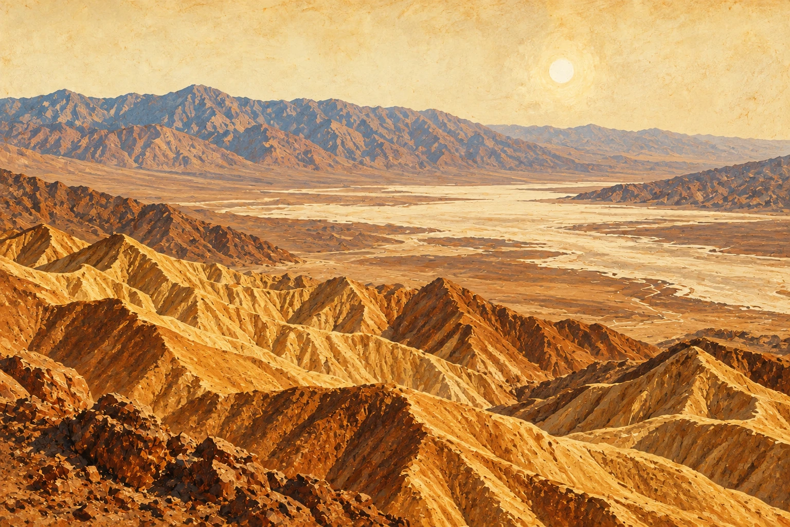
The preserve is in eastern California, east of Barstow, between I-15 and I-40. Congress set it aside in 1994 in the California Desert Protection Act. It runs from 932 feet at Soda Lake to 7,929 feet on Clark Mountain.
- Cost: free. No entrance pass required.
- Hours: roads, trails, campgrounds and outdoor restrooms are open 24 hours a day, every day of the year.
- Entrances: Kelbaker Road at Baker on I-15, Cima Road at I-15, Nipton Road at Ivanpah Road, and Kelbaker Road and Essex Road off I-40.
- GPS: enter Kelso or Hole-in-the-Wall, California. Entering “Mojave, California” sends you 168 miles the wrong way.
Las Vegas to Mojave National Preserve
From the Strip to Kelso Depot, in the middle of the preserve, is about 90 miles and under two hours, by I-15 and the preserve’s paved roads. From Pahrump it is about 135 miles, two hours and 45 minutes. Drive times are from a routing service, rounded.
Preserve, not park
The Park Service runs it, and the preserve’s own FAQ says the main difference is that hunting is allowed here.
Mojave National Preserve: directions Mojave National Preserve: basic information and entrances Mojave National Preserve: fees Mojave National Preserve: hours USGS: preserve physiography Mojave National Preserve: FAQWorth the drive
Mojave National Preserve
things to do.
- Kelso Dunes: the preserve’s most popular hike, up dunes that tower more than 600 feet.
- The lava tube: a metal ladder down into a lava tube off Aiken Mine Road.
- The Rings Loop: climb out of Banshee Canyon on metal rings.
- Teutonia Peak: 3 miles round trip on paved Cima Road, through Joshua trees to views of Cima Dome. The area burned in August 2020.
- Kelso Depot: the 1924 railroad depot that became the visitor center.
- Mitchell Caverns: limestone caves in Providence Mountains State Recreation Area, which sits inside the preserve. The tour is a 1.5-mile round-trip hike plus a two-hour guided tour, $20 for adults, booked through ReserveCalifornia. The park is open September through June, Friday through Sunday and holiday Mondays, 8 AM to 5 PM, and closed in July and August.
- Backroads: hundreds of miles of dirt roads, including the Mojave Road.
- Wildflowers: March through April is the time, depending on rain.
Singing sand
Kelso Dunes
trail.
“Three miles.
Feels like six.”
The trail is 3 miles round trip with about 600 feet of climbing, and it is a strenuous one. Most people take two to three hours. There is no water and no shade, and summer temperatures reach 120°F.
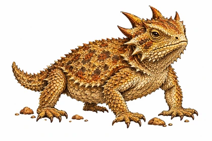
Kelso Dunes is one of seven dune fields in North America known to boom. Push sand off a crest that no one has walked on for a while and it rumbles. Seven kinds of insects live on these dunes and nowhere else, and the Mojave fringe-toed lizard runs across the top on comb-like toes.
Getting there
Take Kelbaker Road 8 miles south of Kelso Depot, then the gravel Kelso Dunes Road. As of the preserve’s September 22, 2026 update, that road was open but rough, with washboard, deep potholes, and sand and rocks washed over it, and the preserve listed it for high-clearance vehicles. Two-wheel drive reaches the main trailhead and the camping area; past the camping area you need four-wheel drive.
Kelso Dunes campground
There is no developed campground at the dunes. Camping is in established undeveloped sites, first come, first served. No camping at the trailhead, along the access road, in the parking lot, north of the road to the dune crest, or within a quarter mile south of it. The preserve lists a roadside site called Kelso Dunes Mine, 18.5 miles from I-40.
Kelso Dunes dune buggy rental?
No dune buggies here. Sand rails, dune buggies, side-by-sides and ATVs are not allowed in the preserve. Next door, the Bureau of Land Management’s Rasor area is open to dune buggies and ATVs, and Dumont Dunes is north of Baker. Drones are banned at the dunes too.
Mojave National Preserve: Kelso Dunes Mojave National Preserve: road conditions Mojave National Preserve: camping rules Bureau of Land Management: Rasor OHV Area Bureau of Land Management: Dumont DunesBring a flashlight
The Mojave preserve
lava tubes.
The lava tube is about 5 miles east of Kelbaker Road on unpaved Aiken Mine Road. The road is narrow, rough, sandy and washboarded, with some larger rocks. High clearance is recommended; give it at least 30 minutes.
- From the signed Kelbaker and Aiken Mine junction, pass an old water tank and corral at 1.6 miles.
- At about 4.5 miles, bear left at the fork.
- Go another quarter mile, past a horse corral, to a round parking area.
- Walk about 300 yards uphill to a fence, turn right, and follow the path to the metal ladder.
Inside, the rock is loose and the ceiling gets low enough that you crawl. The tube is not maintained. There are no toilets or trash cans. The walk is about a mile round trip.
As of the September 22, 2026 update, Aiken Mine Road was open but 4WD only, with soft sand, mudholes and rocks from a recent storm.
Mojave National Preserve: lava tube Mojave National Preserve: Aiken Mine Road status Mojave National Preserve: established trailsCliffs full of holes
Mojave National Preserve
Hole-in-the-Wall.
“The rings are bolted in.
Your nerve is not.”
Hole-in-the-Wall is a wall of rhyolite cliffs riddled with holes and hollows. The Hole-in-the-Wall Information Center is the main place to stop in the preserve. It has water, the bookstore, and passport stamps, with a self-serve stamp on the porch after hours.
Trails
- Rings Loop: 1.5 miles round trip. It climbs narrow Banshee Canyon with metal rings bolted into the rock, and connects to the Mid Hills trail.
- Nature trail: half a mile between the campground and the visitor center.
- Barber Peak loop: 6 miles around Barber Peak, just west of the campground.
- Mid Hills to Hole-in-the-Wall: 8 miles one way through washes, cactus and the Hackberry Fire burn.
- Rock Spring Loop: a mile on Cedar Canyon Road, past the spring the Mojave people and the U.S. Army both used.
Getting there
From I-40, take Essex Road north 10 miles, then Black Canyon Road north 10 miles, all paved, about 25 minutes. From Kelso-Cima Road, Cedar Canyon Road is 16 miles of dirt, about 35 minutes, and passable in two-wheel drive.
Mojave National Preserve: Rings Loop Mojave National Preserve: Black Canyon and Cedar Canyon roads Mojave National Preserve: established trails Mojave National Preserve: visitor center statusAll aboard, eventually
Kelso Depot
visitor center.
The Union Pacific opened Kelso Depot as a train station in 1924. It was renovated and reopened in 2005 as the preserve’s visitor center, with exhibits in the old dormitory rooms, a furnished ticket office and baggage room, and a 20-minute film.
- Status: the preserve’s September 22, 2026 update lists the indoor area as closed. The outdoor areas, restrooms, parking lot and water filling station are open, and Wi-Fi calling works in the parking lot.
- Food: none. The Beanery lunch counter closed when its operator retired in October 2013.
- Trains: about 15 Union Pacific freights a day. The last scheduled passenger train, Amtrak’s Desert Wind, came through in May 1997. Waits at the Kelbaker Road crossing can run an hour.
- Directions: 34 miles south of Baker on Kelbaker Road.
Tents, vans and trailers
Mojave National Preserve
camping.
“Free campsite.
Bring everything else.”
Developed campgrounds
All three are open year-round, with vault toilets, trash cans, fire rings and picnic tables.
- Hole-in-the-Wall: 4,400 feet. Water and an RV dump station. Reservation only, up to 8 people per site.
- Mid Hills: 5,600 feet, in pinyon and juniper. Haul your own water. Reservation only, up to 8 people per site. Not recommended for RVs.
- Black Canyon Group & Equestrian: for groups larger than 8, with water.
Reservations for Mid Hills and Hole-in-the-Wall are on recreation.gov. As of September 22, 2026, both were open.
Mojave National Preserve dispersed camping
Roadside camping is free, with a 14-day limit. Use only sites that have been used before, at least 200 yards from any water source. Campfires go in existing rings or a fire pan, and firewood must come from outside the preserve. Most sites need high clearance and four-wheel drive.
No camping within a quarter mile of paved roads, around the Kelso Dunes road, within a quarter mile of the Zzyzx road, or within half a mile of Kelso Depot or Fort Piute.
A few named roadside sites from the preserve’s list:
- Sunrise Rocks: Cima Road, 11.1 miles from I-15. Rocky road and soft sand.
- Soda Dry Lake View: Kelbaker Road, 11.1 miles from I-15. Soft sand.
- Black Canyon North and South: on Black Canyon Road.
- Kelbaker Boulders and Hidden Hills: a few miles from I-40, small RVs.
Lodging near the preserve
There is no lodging inside the preserve. The preserve lists lodging in Ludlow and Needles, California, and in Primm and Searchlight, Nevada.
Mojave National Preserve: camping Mojave National Preserve: Mid Hills and Hole-in-the-Wall Mojave National Preserve: campground reservations Mojave National Preserve: campground status Mojave National Preserve: lodging FAQPaved, mostly
Mojave National Preserve
road conditions.
From the preserve’s September 22, 2026 update:
- Paved roads: Kelso-Cima, Cima, Kelbaker, Morning Star Mine, Ivanpah and Lanfair are open. Expect old pavement, potholes, narrow shoulders and washed-out drop-offs. A repair project is planned for Kelso-Cima and south Kelbaker roads.
- Kelbaker Road: open, with potholes and shoulder washouts, and up to hour-long delays at the Kelso railroad crossing.
- Essex and Black Canyon roads: open, with debris and washouts near their junction.
- Closed: Hart Mine Road, for heavy road damage and missing culverts.
- 4WD only: the Mojave Road, Aiken Mine Road to the lava tube, Fort Piute, Wildhorse Canyon, Macedonia Canyon and many other dirt roads.
Speed limits on paved roads are 55 mph or less. Desert tortoises cross the roads, especially after rain, and like to nap under parked cars.
Gas, food and water
No gas or food is sold in the preserve, and there is no gas where Kelbaker Road meets I-40. Fill up in Baker, at Cima Road and I-15, Primm, Searchlight, Fenner, Amboy or Ludlow. Drinking water is at Kelso Depot, the Hole-in-the-Wall Information Center and Hole-in-the-Wall Campground.
Mojave National Preserve: alerts and road conditions Mojave National Preserve: gas stationsPlates required
OHV and
street-legal rules.
“Lights, plates, insurance.
Then sand.”
- Street-legal only: every vehicle must meet California DMV rules: current registration and tags, lights and turn signals, and insurance. Jeeps and trucks from any state are fine.
- Stickers do not count: California green and red stickers are not recognized.
- Banned: ATVs, UTVs, RZRs, side-by-sides, sand rails and dune buggies, on all roads.
- Dual sports: a plated dual sport with lights, turn signals and insurance can ride the dirt roads.
- Stay on open roads: no cross-country driving, no new routes, no driving in washes or on dry lakebeds that are not roads. Violators get cited.
- Wilderness: nearly 700,000 acres, closed to motor vehicles and bicycles.
- Bicycles and e-bikes: paved and dirt roads only, no singletrack.
- Groups: more than 7 vehicles or 25 people need a special use permit; allow up to a month.
ATVs and side-by-sides are welcome on the Bureau of Land Management land next door. Our Mojave Desert off-road trails section lists the riding areas.
Mojave National Preserve: 4WD routes and rules Mojave National Preserve: street-legal rules Mojave National Preserve: biking Mojave National Preserve: wilderness acreageWhen to go
Mojave preserve
weather.
Spring and fall are the comfortable seasons. Temperatures over 100°F can start in May, and in winter the sun sets as early as 4:30 PM. Average highs and lows the preserve publishes for two spots:
- Granite Mountain, 4,200 feet: January 50°F / 36°F, April 68°F / 48°F, July 90°F / 67°F, October 73°F / 52°F.
- Zzyzx, 930 feet: January 61°F / 34°F, April 83°F / 53°F, July 109°F / 77°F.
Rain runs from 3.5 inches a year down low to nearly 10 in the mountains, mostly November through April, plus summer monsoon storms. Winter nights at Mid Hills Campground drop to 10 to 30°F. Strong winds blow in fall, late winter and early spring.
Mojave National Preserve: weather Mojave National Preserve: campground temperaturesCloser to home
Ride the desert
with us.
Kelso Depot is about two hours and 45 minutes from Pahrump. Our all-day supported ride starts just outside Pahrump. $399 with a KTM or Husqvarna rental and fuel, or $299 on your own street-legal small dual sport. Chase truck, Chef Ruth’s lunch, drinks and snacks, and a beer at the finish.
See the ride ↗